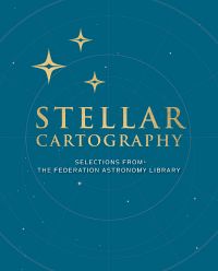
Stellar Cartography: The Starfleet Reference Library
Das Buch Stellar Cartography: The Starfleet Reference Library beschäftigt sich aus einer InUniverse-Sicht mit Sternenkarten der Sternenflotte.
Inhalt[Bearbeiten]
- Werbetext
The Starfleet Reference Library: Stellar Cartography collects together ten original, never-before-seen large-format maps of the Star Trek universe. Pulled from the cartography archives of Starfleet Academy, these beautifully reproduced maps provide a rare opportunity to view the expanse of Federation space (and beyond) through the multiple lenses of the Galaxy's key players.
The maps include an ancient Vulcan map, a Klingon Empire map from the pre-Organian Peace Treaty era (in the native Klingon), an official Romulan government map of the Empire, a native Cardassian Union map from the Bajor occupation, along with Federation maps from the modern era. Housed in a handsome clamshell case and paired with a fully-illustrated reference book providing detailed information on planets, systems, and topography, this exclusive collection showcases the Star Trek universe like never before.
Product Features:
- A tri-fold clamshell case
- 48-page 8" × 10" hardcover book
- Ten 24" × 36" removable maps
